A practical way to separate an expected contractor from activity that deserves a closer look.
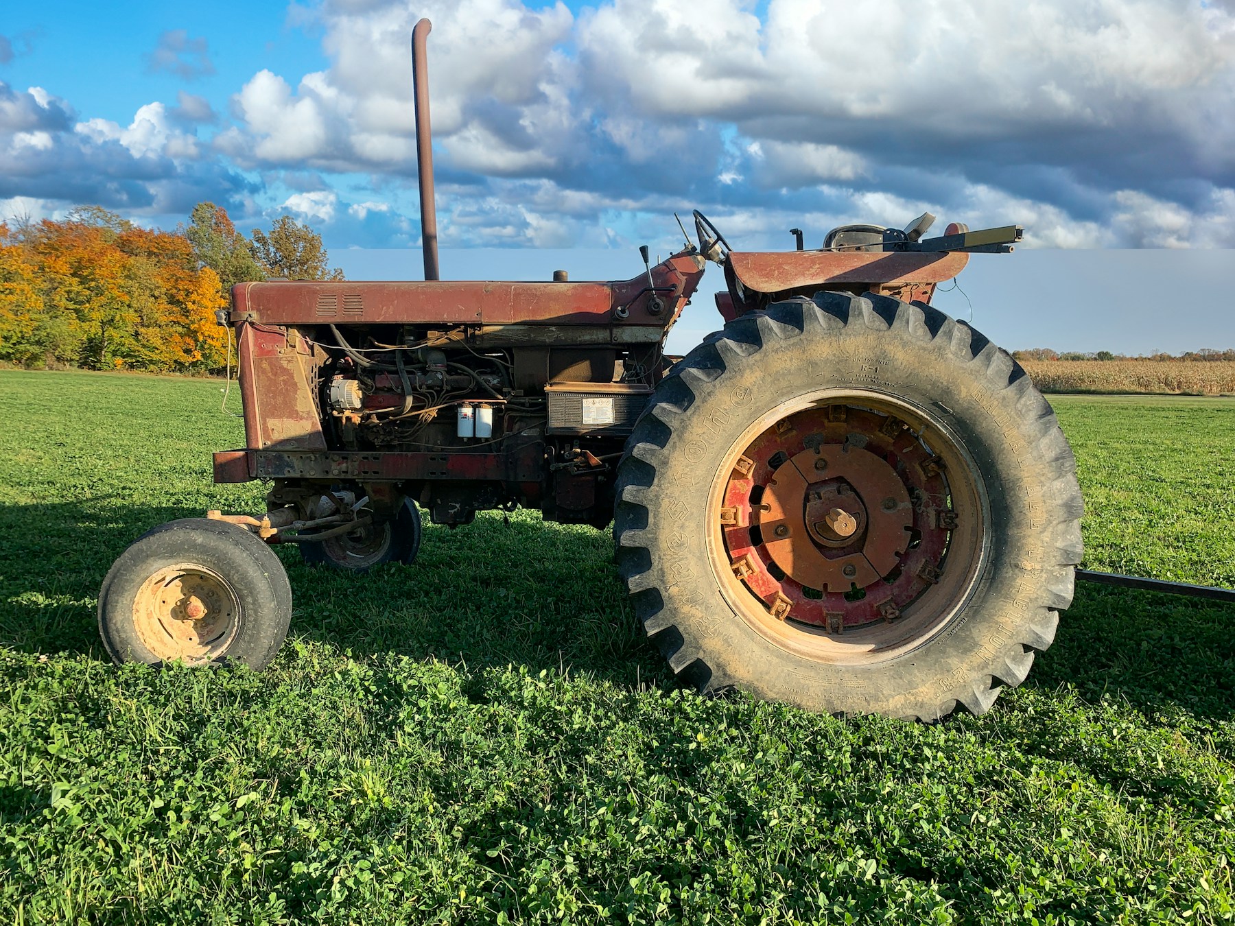
Rural properties have always required owners to think in layers. A locked gate may protect one entrance while a camera watches one shed and a neighbour notices an unfamiliar vehicle on the road. The sky introduces another line of sight—one that is fast, quiet and difficult to observe continuously from the ground. The right response is not fear. It is better awareness, careful interpretation and a reliable record.
Why this conversation matters now
Small drones are increasingly capable, accessible and easy to operate. They support valuable work in agriculture, surveying, photography, emergency response and asset inspection. The same aerial perspective can also reveal the arrangement of a property in minutes: where fuel is stored, which sheds are active, how machinery moves, where livestock gathers and which tracks provide access away from the main house.
That does not make an unfamiliar flight criminal. It does mean property owners have a legitimate reason to understand activity above land, particularly when valuable assets are dispersed across a large area. Awareness creates the opportunity to ask a sensible question while an event is current rather than relying on memory after something has gone wrong.
A practical example
Consider a situation where a scheduled agronomy flight is quickly confirmed while a later unknown flight remains unexplained. The detection alone cannot explain intention, but it can add a precise moment to the property record. An owner can check whether a contractor was expected, ask workers what they observed, review the relevant camera rather than hours of unrelated footage and inspect vulnerable assets while the information is still useful.
If there is an ordinary explanation, the event can be resolved calmly. If nobody recognises it, the owner has a reason to remain attentive and preserve the information. If similar activity returns, a pattern begins to emerge. That is the value of context: it supports proportionate decisions without turning uncertainty into accusation.
What DroneDingo can tell you
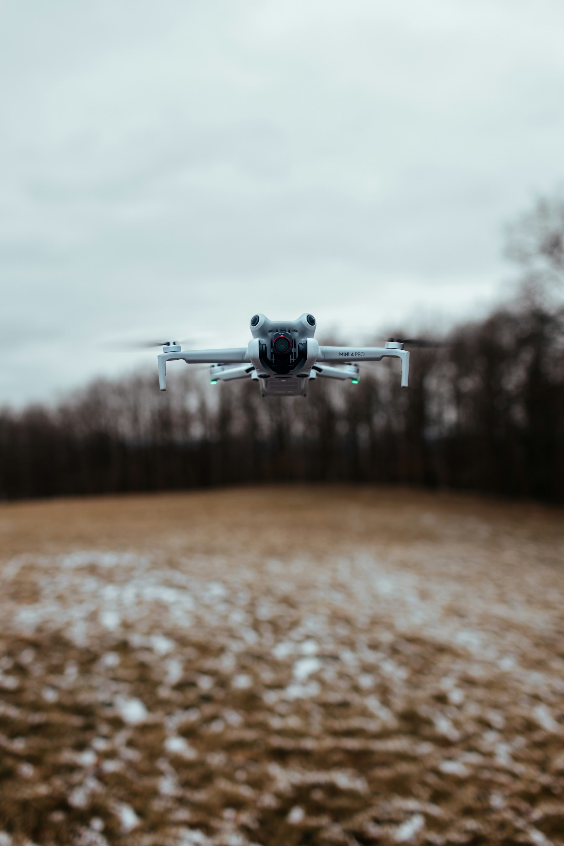
DroneDingo distinguishes between two broad outcomes. An identified drone is a mainstream commercial aircraft from which usable broadcast information has been received. Depending on what the aircraft transmits, the system may present its manufacturer and model, broadcast identity, position, height, speed, heading, observed flight path and operator information.
Suspected drone activity is different. An unknown radio signal has characteristics consistent with possible drone operation, but the aircraft cannot be confidently identified and may provide no telemetry. DroneDingo records only the observations available. It does not invent a model, location or flight path to make the screen look more complete.
This distinction is important. A trustworthy security record must separate fact from inference. “Identified aircraft” and “suspected activity” give the property owner two useful but appropriately different kinds of information.
What a detection cannot tell you
A signal cannot reveal intention. It cannot determine whether a pilot is curious, careless, working legitimately or considering an offence. It may not identify every aircraft, and reception depends on aircraft hardware, terrain, vegetation, buildings, installation height and local radio conditions.
DroneDingo is therefore an awareness and record-keeping system—not an accusation engine. It does not jam, disable, capture or take control of an aircraft. Those boundaries support safety, responsible use and more credible information.
From alert to useful action
A good response starts with the least dramatic explanation and works outward. Confirm scheduled contractors and legitimate work. Look at the live property view. Check whether the event is identified or suspected. Note where it appeared in relation to vulnerable assets. Review cameras, access logs and worker observations around the same time.
If activity appears genuinely unsafe or connected with trespass, theft or another incident, preserve the record and contact the appropriate authority. Do not confront an aircraft or attempt to interfere with it. The aim is to strengthen the quality of information available to the owner and, when necessary, investigators.
Patterns are often more useful than isolated moments
One flight may have a straightforward explanation. Repeated activity by the same identified aircraft, or recurring suspected activity at similar times and locations, can be more informative. Sighting history makes those comparisons possible without relying on recollection.
Patterns can also demonstrate that activity is routine. A contractor may visit monthly, a neighbour may follow a familiar route or an agricultural service may operate during a particular season. Good awareness helps owners dismiss legitimate activity as readily as it helps them notice something unusual.
One layer in a stronger rural security plan
No single product secures a farm or rural business. Effective protection combines controlled access, clear signage, secure fuel and tool storage, lighting, cameras, asset identification, livestock records, good key management, neighbour awareness and prompt reporting. DroneDingo adds information from a direction most conventional systems do not cover.
The system can help direct attention, but it does not replace a physical inspection or a well-positioned camera. Its record becomes more useful when clocks are aligned across systems and staff know how to note unusual events. A detection time can then be compared directly with a gate camera, vehicle movement or operational log.
Questions worth asking on your property
- Which assets are visible from the air but difficult to see from the house or office?
- Which legitimate drone operators may work nearby, and how will their activity be confirmed?
- Who should receive an alert and what is the calm first response?
- Are camera clocks, access records and incident notes accurate enough to compare?
- Where can an appliance achieve a broad view of the sky while remaining secure and serviceable?
- How long should sighting history be retained for the property’s needs?
Designed and developed in Australia
DroneDingo is 100% written and developed in Australia by founder and creator David M. Gilbert. His background spans website and e-commerce development, artificial intelligence, cyber security, business consulting, digital marketing, computer systems and practical digital fabrication. That mix matters because DroneDingo is both sophisticated software and a physical product that must remain understandable to the people using it.
The mission is not to make the sky feel threatening. It is to give rural owners a clearer, calmer way to understand activity that would otherwise pass without a useful record. The product is being shaped around long distances, variable connectivity, metal buildings, tree lines, difficult terrain and the expectation that equipment should earn its place on a working property.
Turning awareness into a routine
The most useful security tools become part of an ordinary routine. Decide who reviews alerts, how expected flights are noted and where unusual observations are recorded. Include DroneDingo in periodic security reviews with cameras, locks, lighting and asset records. Check that the appliance remains securely positioned and that staff understand the difference between an identified aircraft and suspected activity. A short, consistent process prevents an alert from becoming either a source of unnecessary alarm or another notification that everyone ignores. It also creates better records: clear notes about who checked an event, what was observed and whether follow-up was required. Over time, those habits help a property establish what normal aerial activity looks like, making genuine exceptions easier to recognise.
The sensible conclusion
The flight that makes sense—and the one that does not is ultimately a question of context. Earlier awareness will not answer every question, but it can replace a blank space with a time, a type of detection and a history. That is often enough to make the next decision faster and better informed.
Most drone use is legitimate. Some activity will remain uncertain. DroneDingo is designed to present both realities honestly: identify what can be identified, label suspected activity carefully and preserve the information that may matter later.